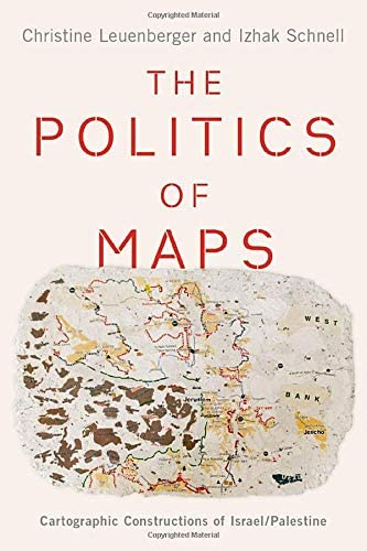
The Politics of Maps: Cartographic Constructions of Israel/Palestine by Christine Leuenberger and Izhak Schnell
$ 85.00
The land between the Mediterranean Sea and the Jordan Valley has been one of the most disputed territories in history. Since the establishment of the state of Israel in 1948, Palestinians and Israelis have each sought claim to the national identity of the land through various martial, social, and scientific tactics, but no method has offered as much legitimacy and national controversy as that of the map.
The stories of Israel's many boundaries reveal that there is no absolute, technocratic solution to boundary-making. As boundaries continue to be controversial and the Israeli-Palestinian conflict remains intractable and unresolved, The Politics of Maps uses nationally-based cartographic discourses to provide insight into the complexity, fissures, and frictions within internal political debates, illuminating the persistent power of the nation-state as a framework for forging identities, citizens, and alliances.
Year: 2020
Hardcover


Share this item: